
Precision
Built to Last.
Delivering high-accuracy surveying, structural analysis, and comprehensive engineering solutions through advanced instrumentation and technical expertise. Tailored engineering solutions for the unique geological and urban landscapes of Texas, with local teams in Houston, Dallas, and San Antonio.
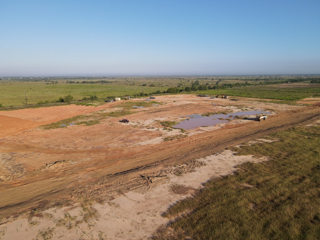
01. Land Surveying
Utilizing state-of-the-art GNSS and robotic total stations to provide millimeter-accurate spatial data for complex infrastructure projects.
Topographic Mapping
Detailed analysis of natural and man-made features, elevation contours, and site drainage patterns using 3D laser scanning.
Boundary Surveys
Precise legal definition of property lines and easements.
ALTA/NSPS
Comprehensive surveys for commercial real estate transactions.

Construction Staking
Transferring design plans to the physical site with high-precision layout services.
02. Civil Engineering
Sustainable site design and infrastructure development tailored to modern urban requirements.
Site Development
Complete planning from feasibility studies to final grading and drainage design. We prioritize stormwater management and environmental compliance in every layout.
- Grading & Drainage Plans
- Utility Infrastructure Design
- Stormwater Management
- Permitting & Entitlements
Infrastructure Resilience
Advanced Modeling Systems
03. Structural Design
Analysis and design for new construction, complex retrofits, and high-performance buildings across Texas markets—from Gulf Coast wind and flood loads to urban density.
Systems & Framing
Steel, concrete, masonry, and hybrid systems with coordinated gravity and lateral load paths. We align architectural intent with code-minimum and owner-driven performance goals.
Retrofit & Seismic
Strengthening, adaptive reuse, and vulnerability assessments for existing structures.
Peer Review
Independent technical review for critical projects and third-party assurance.
Construction-Phase Support
RFI and submittal support, field observations, and coordination with contractors to keep design intent intact through turnover.
- Load & Code Analysis
- Connection Design
- Special Inspections Coordination
04. Geotechnical
Subsurface insight for confident foundations, pavements, and earthworks—scoped to Texas geology, groundwater behavior, and agency expectations.
Geotechnical Characterization
Exploration planning, laboratory coordination, and engineering interpretation to support design-level recommendations and risk-aware construction sequencing.
- Foundation & Bearing Recommendations
- Pavement & Subgrade Design Input
- Slope & Retaining Wall Geotechnical Support
- Groundwater & Settlement Considerations

Earthwork & Risk
From Borings to Buildable Solutions
05. Environmental
Cultural and historic resources consulting that keeps linear, energy, transportation, and development projects moving—aligned with federal and state review expectations.
We support projects that trigger Section 106 of the National Historic Preservation Act, NEPA documentation, and related agency processes—including contexts common to FHWA, FERC, the U.S. Army Corps of Engineers, and parallel state rules. Our work is designed to mesh with your schedule, design team, and permitting path.
Archaeological Discovery & Investigations
Phased field studies, site identification, and records review to establish what is present before design and ground disturbance advance.
Evaluation & Mitigation
Effect assessments, treatment alternatives, and practical mitigation strategies that satisfy agency and stakeholder expectations.
Integrated CRM Plans
Program-level cultural resources management planning so recurring project types proceed with clear standards and predictable deliverables.
Tribal Engagement & Consultation
Structured outreach and consultation support that respects sovereign interests and regulatory timelines.
Historic Preservation Planning
Planning tools and guidance for local sponsors, developers, and public-sector clients.
- Historic tax credit counseling
- Stakeholder training & public outreach
- Brochures, exhibits, & interpretive signage content
- Heritage tourism & revitalization planning
- Local ordinance & design criteria development
- Historic context statements
- Memoranda of agreement & programmatic agreements
Architectural History & Documentation
Above-ground resource studies, effects analysis, National Register eligibility, viewshed analysis, deed research, and documentation consistent with HABS/HAER/HALS-style standards where required.
- 360° photo documentation
- Creative mitigation & public engagement
Laboratory, Curation & Exhibits
Artifact analysis, collections care, exhibit planning, photogrammetry, and community-facing interpretation.
GIS & Remote Sensing
Spatial modeling and predictive tools that focus field effort where it matters most.
Bioarchaeology & Cemetery Support
Cemetery identification, planning, relocation studies, and respectful coordination with families and jurisdictions.
Monitoring & Geoarchaeology
Construction monitoring and geoarchaeological input when deposits or features warrant on-site technical judgment.
Technical Consultation
Ready to discuss the technical requirements of your next project? Our lead engineers are available for specialized consultations.